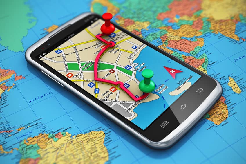
Satellite and Ariel image analysis is a core competency of Telegenisys Inc. Telegenisys frequently geo codes artifacts (objects) on the earth surface. In a large project which is continuing, Telegenisys is geocoding each lane on a highway system. Each month Telegenisys is developing hundreds of thousands of geolocation points on highways which identify lanes.
Wages are going up, how’s your productivity?
CNN Business reports that wages next year will see their “highest expected annual jump in 15 years,” [1]and this is on...


0 Comments