


Data reduction is a science and an art. Our data reduction crews analyses movements of vehicles by type over segments of roads to create data models that can be used for complex, highly accurate statistical analysis of traffic patterns. State and city transportation departments use these to do planning essential to manage the growth of urban environments.
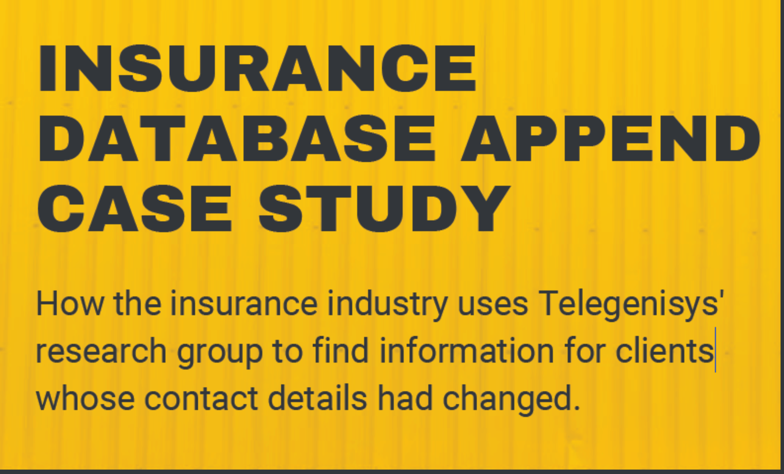
Insurance database append case study
Often insurance databases become outdated as people move, marry or change status. If they forget to update the...

0 Comments